Blue Basin Cartography
Vintage Tahoe Terrain
Vintage Tahoe Terrain
Regular price
$49.99 USD
Regular price
Sale price
$49.99 USD
Quantity
Couldn't load pickup availability
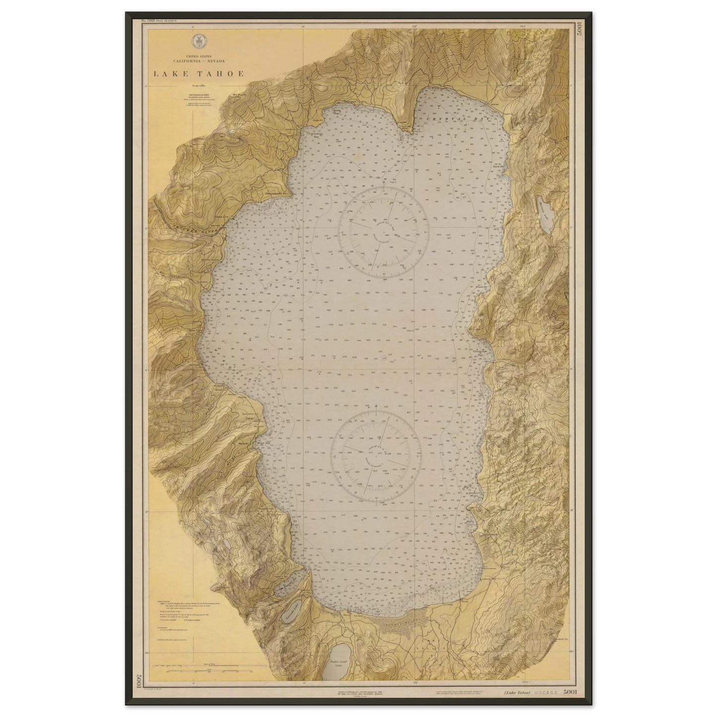
Lake Tahoe as the United States Coast and Geodetic Survey charted it. Chart 5001 carries every hand recorded sounding across the lake floor, both original compass roses, and the full ring of the basin from Emerald Bay around to Crystal Bay. We restored the sheet and brought the Sierra relief back up so the ridgelines and canyons read the way the surveyors saw them. Made for the cabin wall, the boathouse, or anyone who has spent a summer on this water. Printed on archival stock and made to hang for a long time.
How it ships
- Unframed posters ship rolled in a rigid tube.
- Wooden framed posters arrive assembled. The print is already mounted in the frame and it is ready to hang out of the box.
- Metal framed posters arrive unassembled. The frame and the print ship flat in the same box and you mount the print yourself.
- The fine art framed poster arrives unassembled. The frame and the print ship flat in the same box and you mount the print yourself.
- Canvas ships with a mounting kit.
- Every frame includes a hanging kit. Screws and nails are not included.